PipeVision provides emergency response agencies detailed information about pipelines in their jurisdiction. The application also includes a mechanism for agencies to collaborate with pipeline operators by submitting information regarding populated areas (identified sites) near pipelines. It provides the following pipeline information:
- Product transported in the pipeline
- Pipeline size in inches (if provided by the member company)
- Recommended initial evacuation distance
- Pipeline company emergency phone number
- Company name, non-emergency contact, phone, and email address
- Link to document containing additional company information (if available)
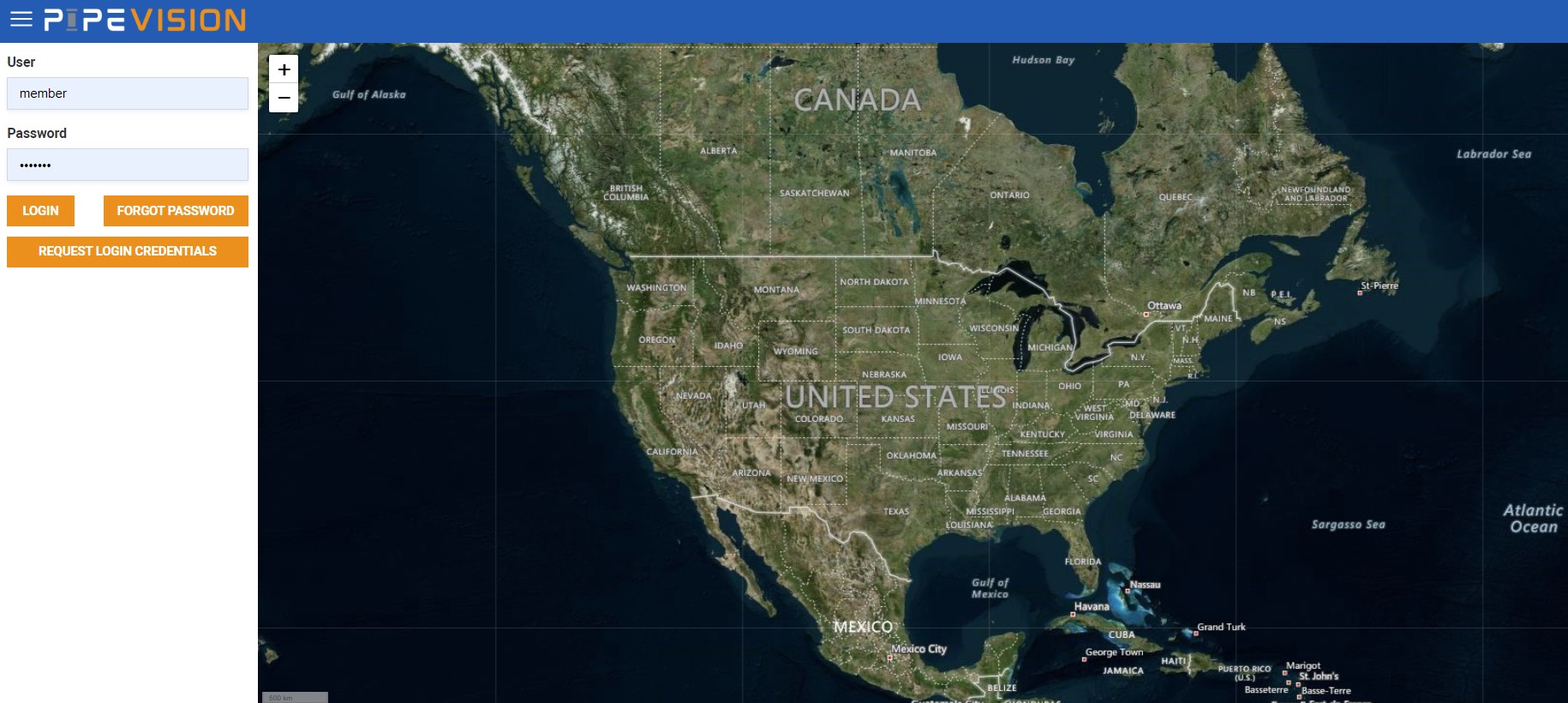
Click the “Access PipeVision Application” link below to access the map using the log in information provided in the letter mailed to your agency. If you did not receive a letter or do not have the log in information, please click on “Request Login Credentials” and submit your information.
To use the mobile app for iPhone and Android, download and install the app through the link below. Sign-in with your login credentials, or Request Login Credentials. Select your state and county. Review the menu for additional information.
Users are cautioned that the application DOES NOT INCLUDE ALL PIPELINES. If you zoom in and don’t see any pipelines in your area, just navigate to Utah – Salt Lake County to see a good example of what the application is intended to provide.
PipeVision is also a tool for emergency planning officials to use to review and submit information regarding identified sites near pipelines in their community. The yellow shading indicates the areas where “identified site” information is needed. All other areas are not affected by member pipelines and no information is needed in those areas.
A location is considered an “identified site” if it satisfies one of the following definitions:
- An outside area or open structure that is occupied by twenty or more persons on at least 50 days in any twelve-month period. The days need not be consecutive.
- A building that is occupied by twenty or more persons on at least five days a week for ten weeks in any twelve-month period. The days and weeks need not be consecutive.
- A facility occupied by persons who are confined, are of impaired mobility or would be difficult to evacuate.
The PipeVision application may be used to submit information about any type of site (building or outside area). For security reasons, the general public will not be given access to information stored in this registry.
Of particular interest are unmarked outside areas where people congregate. These areas include: unmarked camping areas, places where young people gather to play sports that are not public parks, places where people gather on the weekends or special events, locations where indigent people congregate and other similar unmarked areas. Information about these areas is difficult for pipeline companies to obtain without the help of local officials, especially law enforcement agencies.
Places occupied by persons of limited mobility are also important to pipeline companies. These may include medical facilities, nursing homes or any other area that is difficult to evacuate.
Learn more: